


:max_bytes(150000):strip_icc()/dv028502-58b9c9783df78c353c3723a0.jpg)


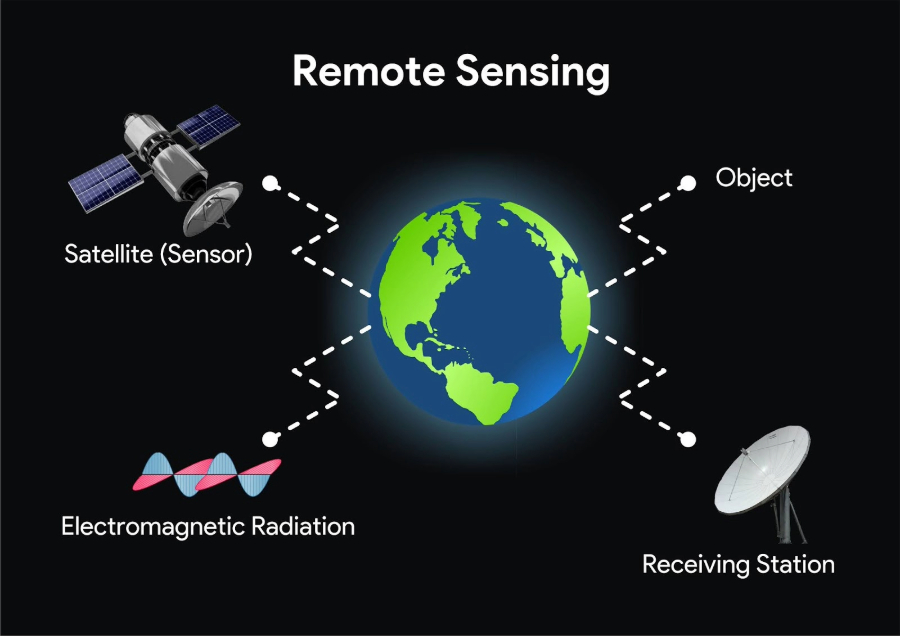


M.Tech. in Remote Sensing and GIS
School of Geo-informatics (SGID) RSAC-U.P. Lucknow is running a two years (Four Semesters) M.Tech. course since 2013 in Remote Sensing & GIS, which is affiliated to Dr. A.P.J. Abdul Kalam Technical University, approved by AICTE, Govt. of India.